Riparian and Swale

-

Hi Kimia,
I had a good writeup with a couple of videos talking about agricultural swales I'd found (they're of the same structure as the swale and berm used in building site design, but used to catch and hold water rather than catch and divert water), but lost it - the gist is that swales and berms are used together to keep surface runoff water away from a building site or other area of the landscape you want to keep relatively dry. Swales and berms always go uphill of the building site, and water flowing downhill should always reach the swale before reaching the berm - to rephrase that, the berm always goes downhill of the swale, between the swale and your site. You can have just a swale, or just a berm, but they are more effective together, and make better use of the earth you have to move - you dig a shallow ditch (the swale) and pile the dirt up alongside it in a low hill to form the berm. If you have only one or the other, you end up with excess dirt or having to import dirt to the site.
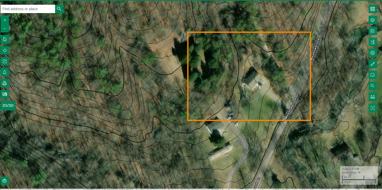
Here's a sketch on a topographic site - orange box is the area of the next image in sequence. I start fairly far out so that you have a sense of the scale of hill at top left of the map.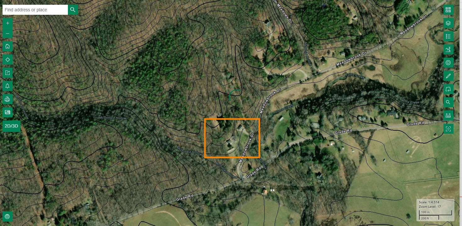
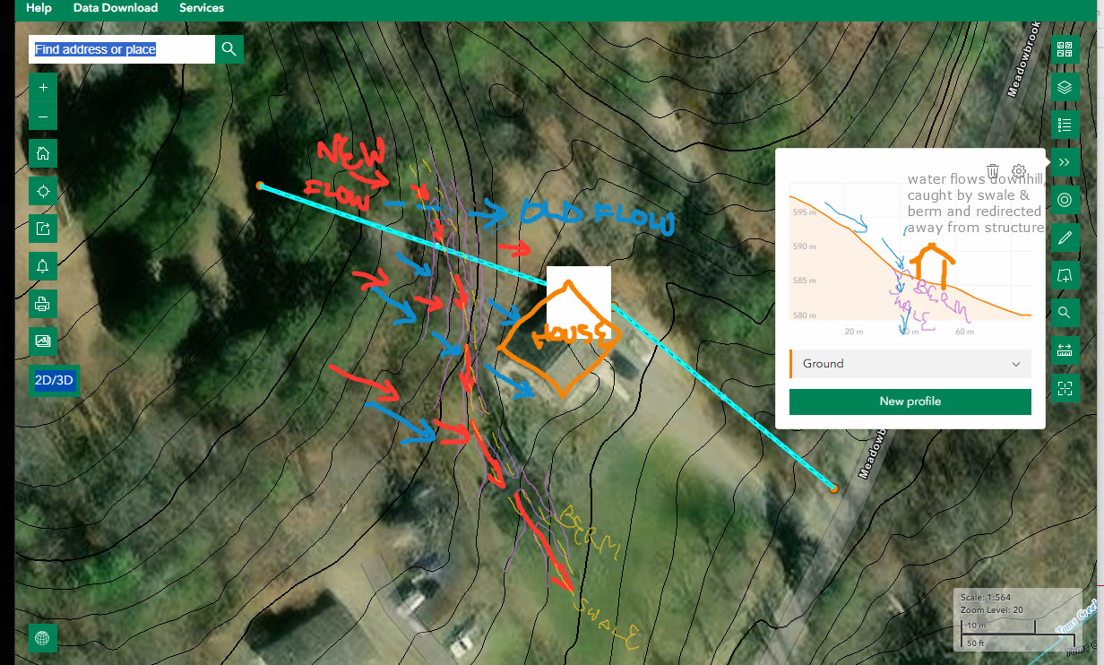
You may want to right-click and open the above image in a new tab - the purple lines that are the reworked topography are a bit hard to see. I've marked the centerline of the berm and swale in yellow. The light blue line is the line of the (vertically exaggerated) ground profile at right.
As to riparian zones, I wouldn't expect you to need to identify them in a topographic plan, but riparian zones are the low-lying, high-moisture areas around a body of freshwater, especially a river or creek. Where the ground around the body of water is steep, the riparian zone is narrow. Where it is flat, and near the body of water, the riparian zone can be quite wide.
Here's a sketch of the approximate area of a riparian zone around a medium-size creek with a tributary. Note that the riparian zone encompasses both soem forested and grassy areas - riparian zones include swamps, forests, and fields or grasslands that contain moisture-loving species.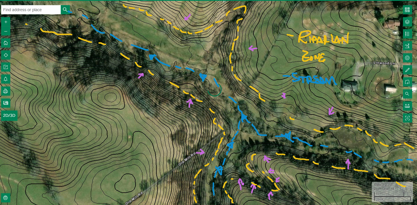
Hopefully this helps you a bit!
Best,
Ralph, the Amber Book Team -
Absolutely! Topographic maps are a personal favorite.
One more pro-tip on visualizing how water flows on a landscape where you have a topo map - if you pick any point on a higher-elevation topo line, water that is at that point always takes the shortest path (a straight line, in abstract) to the adjacent lower-elevation topo line. If the two topo lines are parallel, then water flow is perpendicular to both of them, but if they aren't parallel, then water flow won't be exactly perpendicular to either of them.
Like this!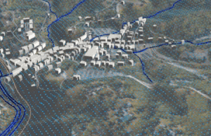 (that's a grid of dots overlaid on a topographic surface, no topo lines, but you get the gist hopefully!)
Best,
Ralph, the Amber Book Team
Please sign in to leave a comment.
Comments
4 comments